The 74th West Coast Science Fantasy Conference – Tonopah, NV – July 1-4, 2022
Location
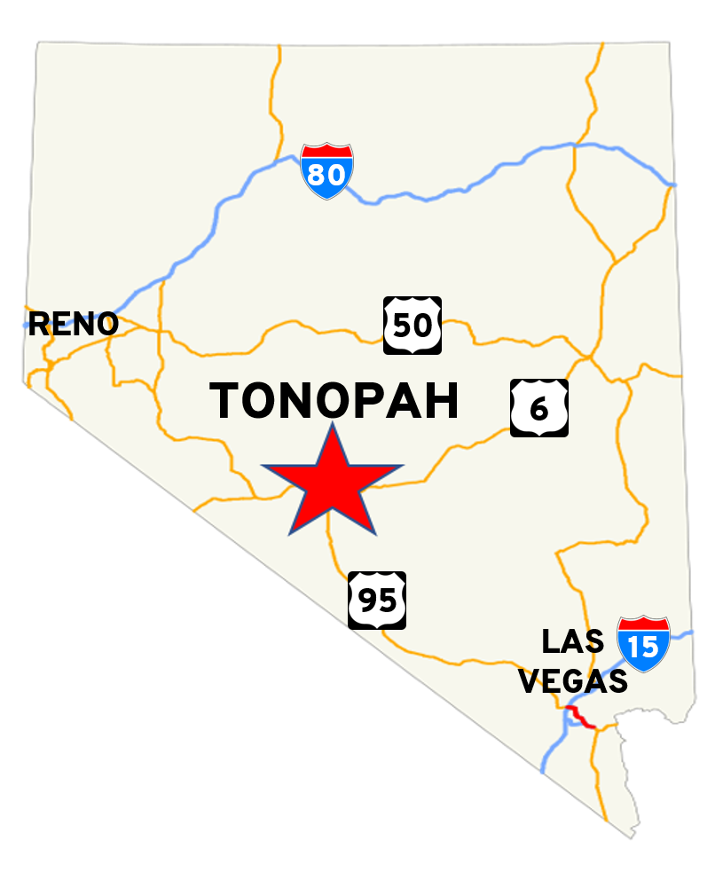
Tonopah, Nevada is an unincorporated town in Nye County, Nevada (it is the county seat), located approximately halfway between Reno (230 miles) and Las Vegas, Nevada (210 miles), at the junction of US-95 (north-south highway) and US-6 (east-west highway).
As of the 2010 census, the population of the town was 2,478 people.
Las Vegas, Tonopah, and Reno, like most of the state of Nevada, are in the Pacific Time Zone, and observe Daylight Savings Time.
Tonopah is not in a major metropolitan area. It does have hotels, restaurants, gas stations, convenience stores, one medium sized grocery store, and law enforcement (Nye County Sheriff’s Department)
There is no hospital in Tonopah. There is an urgent-care clinic and paramedic services; however, the nearest hospitals are in Hawthorne NV (105 mi / 170 km) and Bishop CA (115 mi / 190 km).